Geodetic surveying.
A full scope of topographic, geodetic and mine surveying services, including aerial laser scanning (ALS), aerial photography, and terrestrial photogrammetry
We specialize in creating high-precision digital terrain models and analyzing geospatial data — particularly relevant in mining, construction, design, and monitoring.
Key services
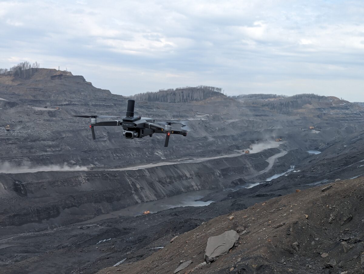
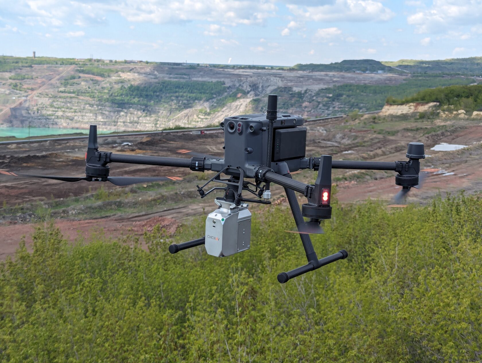
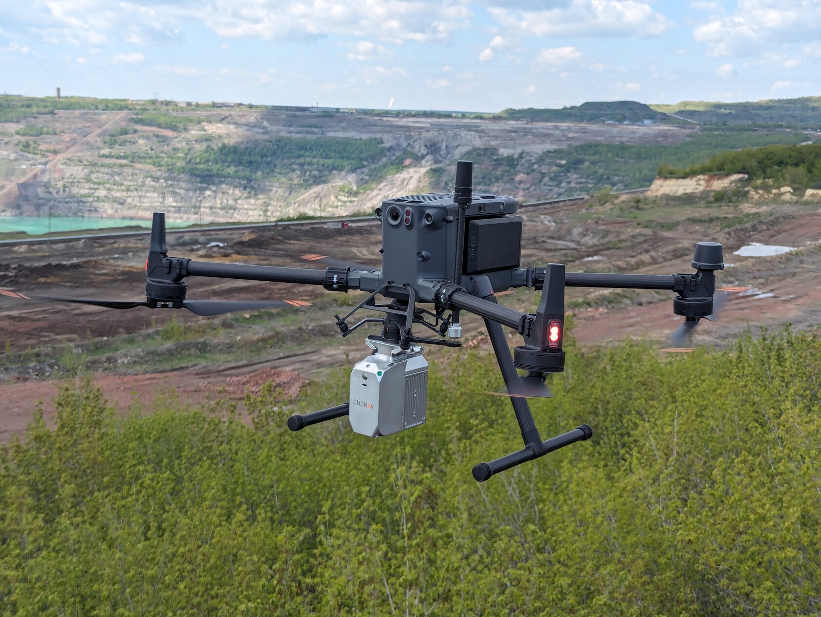
Aerial laser scanning
- Producing a detailed point cloud followed by 3D terrain and digital elevation models
- Measuring hidden or hard-to-reach areas, including vegetated zones and waste dumps
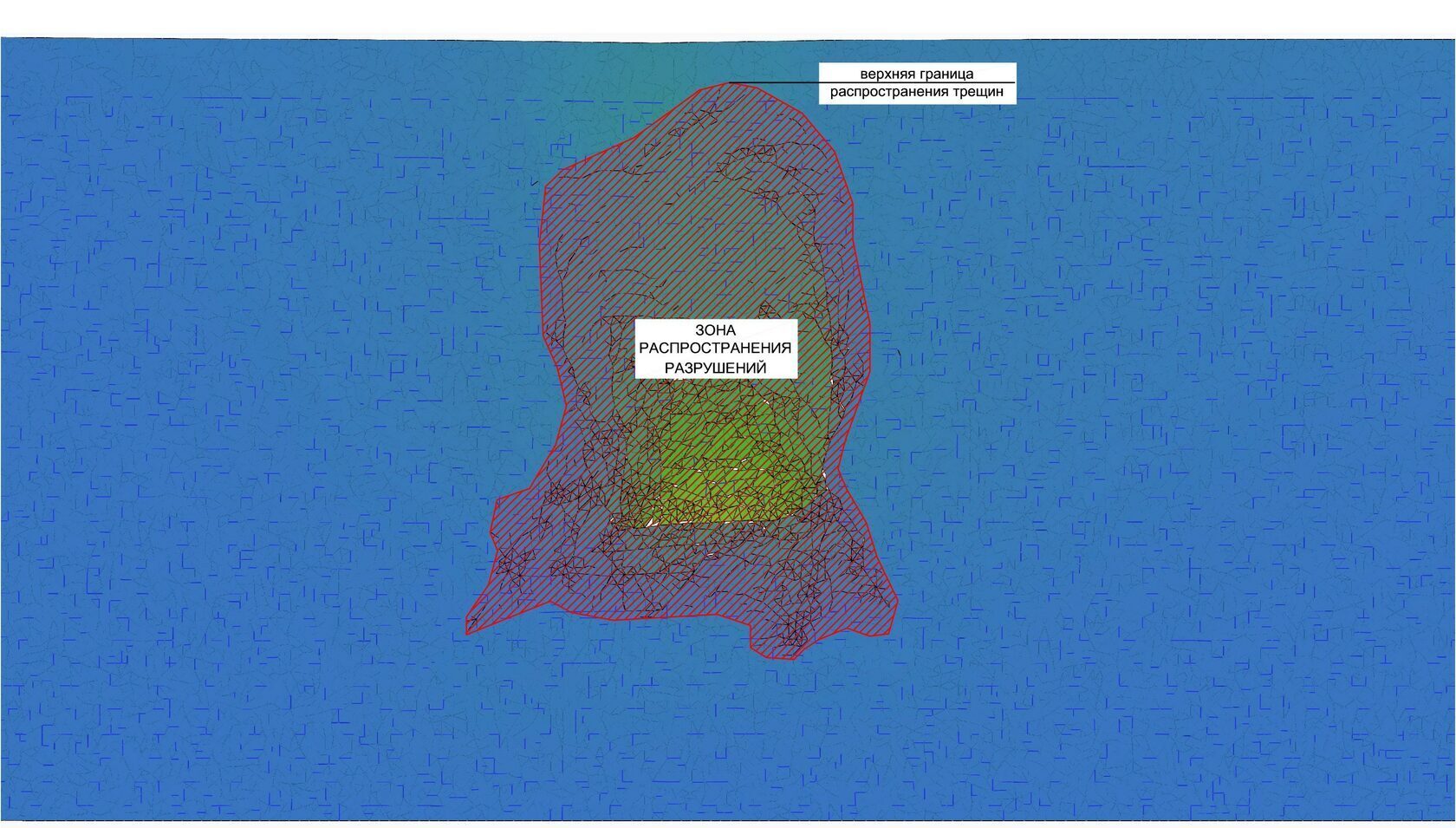
- Using laser scanners for deformation control and early detection of potential landslides
Geodetic monitoring
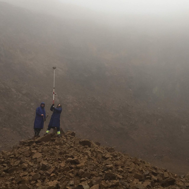
- Continuous or periodic monitoring of movements and deformations of buildings, structures, and open-pit slopes
- High-precision instrumental methods
- Real-time monitoring of settlements and tilts for timely detection and prevention of accidents
- Data analysis to adjust design decisions with geomechanical factors in mind
Mine surveying
- Determining reserves and extracted rock volumes
- Preparing mine surveying documentation in accordance with Rostechnadzor requirements
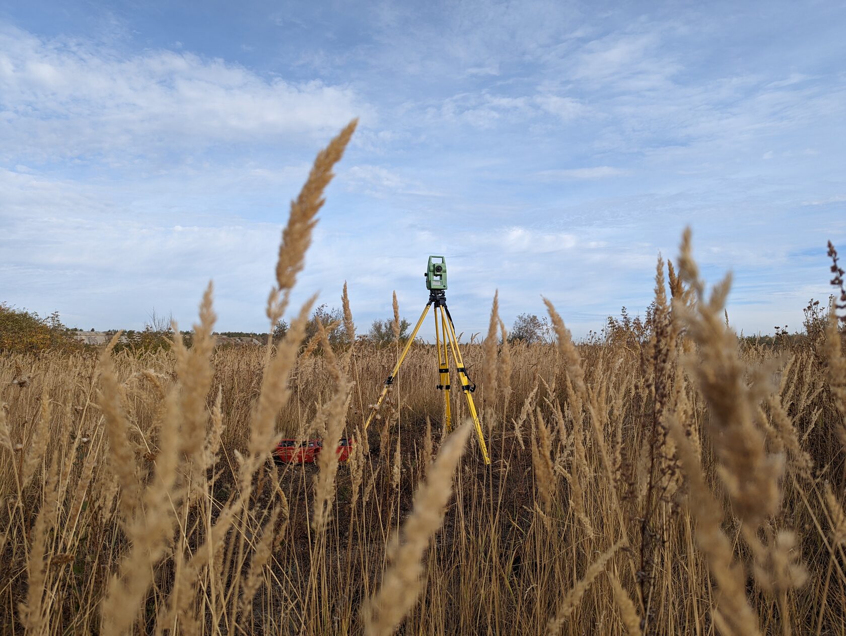
- Monitoring the dynamics of mining operations and collapse risk assessment
Topographic and geodetic surveys
- Surveying and producing topographic plans for planning and design
- Establishing horizontal and vertical control networks
- Monitoring structure displacements and open-pit slope deformation
Aerial photography
- Photographing large areas in a short time
- Building orthophotomaps and 3D models for precise terrain analysis, mapping and topographic plans, as well as volume calculations
- Improved accuracy when planning mining operations and reclamation work
Terrestrial photogrammetry
- Highly detailed surveys of individual objects, open-pit slopes, structures and more
- Combining terrestrial and aerial survey data for a more complete picture
Real-world examples
Mine surveying support at one of the ore deposits in Sverdlovsk Oblast helped resolve disputes between the subsurface user and the stripping contractor.
Regular aerial laser scanning of a reclaiming coal mine in Chelyabinsk Oblast makes it possible to analyze all ongoing deformations over a large area (over 700 ha) in office mode.